Raptor Maps builds software to save time and reduce the cost of farming. Their software platform provides farmers, crop consultants, and other professionals with powerful, easy-to-use tools to organize and analyze their inspection imagery.
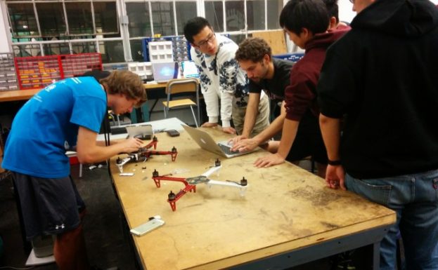
Raptor Maps was founded in the MIT Man-Vehicle Laboratory by Nikhil Vadhavkar, PhD candidate in bioastronautics, Edward Obropta ’13, SM ’15, and Forrest Meyen SM ’13, PhD ’17.
In its 2013 Economic Impact report, the Association for Unmanned Vehicle Systems International forecasted precision agriculture to be the most promising application for drone technology. However, drone companies had yet to build affordable drones to collect farm-specific data and show demonstrable value. The software tools to provide analysis and recommendations were lacking. It was this gap in the market and the willingness to build what farmers wanted that led to the foundation of Raptor Maps.
In 2015, the team spent the months leading up to the MIT $100K Entrepreneurship Competition conducting market research and refining the technology. At the finale event in May, Raptor Maps was awarded the $100,000 grand prize. In spring 2016, Nikhil and Edward decided to leave graduate school to work full-time on Raptor Maps. They applied and were accepted to the startup accelerator Y Combinator, and split their time between Silicon Valley and farms across the US and Canada. Raptor Maps’ seed investment was led by Airware’s Commercial Drone Fund.
Today, Raptor Maps is a thriving early-stage startup with its headquarters based at the Somerville incubator Greentown Labs. The company has evolved to equip its customers to use smartphones, consumer-grade drones, and other sensors to save time and reduce cost. Raptor Maps is continuing their mission of enabling the next tech revolution in precision agriculture.

